Flanders, New York
Flanders Commercial Real Estate
Flanders occupies the highway-commercial gateway between Riverhead and the South Fork, where Route 24 traffic, proximity to the Riverside traffic circle, and Peconic estuary wetlands together shape what can be built and what a parcel is worth. North Fork Commercial represents owners here confidentially.
- Route 24 corridor
- Flanders Road
- Riverside traffic circle
- Peconic Avenue
- Pleasure Drive
Credential
CCIM · MBA
Corridor
Route 24 / Flanders Road
Posture
Off-Market First
Flanders Market Overview
Commercial ownership along Flanders Road and the Route 24 corridor is a mix of independent owner-operators running auto, home-improvement, and general service businesses, and a smaller group of investor-landlords holding older strip retail and freestanding buildings that have seen limited reinvestment over the years. Turnover has historically been modest, reflecting the corridor's underlying vacancy and condition challenges relative to more affluent East End submarkets.
Buyers here include value-oriented investors and 1031 exchange capital seeking basis well below Southampton Village or Westhampton Beach pricing, developers evaluating sites for eventual revitalization under Town of Southampton planning initiatives, and owner-users in service trades who need highway visibility and functional yard or building space at an accessible price point.
Pricing is shaped heavily by proximity to the Riverside traffic circle and the degree to which a given parcel is affected by mapped wetlands or flood zone associated with the Peconic estuary system; two parcels a few hundred feet apart along Route 24 can carry very different buildable area once those boundaries are surveyed.
- Primary Corridor
- Route 24 / Flanders Road
- Regional Node
- Riverside traffic circle
- Environmental Overlay
- Peconic estuary wetlands (NYSDEC)
- Planning Context
- Southampton revitalization study area
A Highway Commercial Corridor at a Regional Crossroads
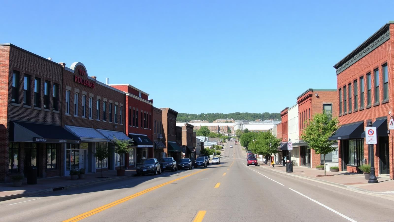
Flanders Road and the broader Route 24 corridor function as the connective highway commercial strip between Riverhead's retail base and the South Fork, carrying a mix of auto-service, home-improvement, fast-casual, and general retail uses oriented toward pass-through traffic rather than a walkable village core. The corridor's proximity to the Riverside traffic circle — itself a long-standing focus of regional planning attention — puts a meaningful share of Flanders' commercial parcels within a few minutes of one of the East End's busiest vehicular junctions.
This is a corridor where highway visibility and curb cuts matter more to value than architectural character, and where a number of buildings reflect decades-old construction that has not been substantially updated, creating both redevelopment opportunity and deferred-maintenance risk for a prospective buyer.
Wetlands, Flood Zone, and Revitalization Overlays
A significant portion of the land near Flanders and the adjoining Riverside hamlet sits close to the Peconic River and estuary system, placing it under NYSDEC tidal and freshwater wetlands jurisdiction and, in low-lying areas, within mapped FEMA flood zones. Any expansion or new construction on affected parcels requires wetlands setback analysis well before a site plan is finalized.
Town of Southampton has pursued hamlet revitalization planning for the Flanders-Riverside-Northampton area for years, aimed at addressing blight, encouraging targeted redevelopment, and improving the corridor's appearance and function; these planning documents can indicate where the town is more receptive to redevelopment proposals, though they do not override underlying zoning or wetlands review on a specific parcel.
Suffolk County Health Department septic standards continue to apply outside sewered areas, and combined with wetlands setbacks, they can reduce buildable area on a given lot well below what its zoning designation alone would suggest.
Confidential Representation Along the Corridor
Flanders owners are often small business operators for whom a public sale sign can affect customer confidence and vendor relationships well before a transaction is finalized. North Fork Commercial runs a confidential process here, sharing a property only with buyers who have been qualified in advance.
Kristopher J. Pilles, CCIM, MBA, works with value-oriented investors, redevelopment-focused capital, and owner-users familiar with the corridor's wetlands and planning context, rather than exposing a Flanders property to unqualified inquiries generated by open listing exposure.
How Value Is Determined on This Corridor
Valuation begins with a wetlands and flood zone screen, since these boundaries can eliminate a meaningful share of a lot's apparent buildable area before any zoning or market analysis is relevant. Visibility, curb cuts, and traffic counts along Route 24 near the Riverside traffic circle then drive much of the remaining differentiation in retail and service-commercial value.
Because Flanders lacks the seasonal swings of the ocean-side hamlets, income tends to be assessed on a straightforward year-round basis, though many buildings require capital investment to bring them to a condition that supports market rents, and that gap between current condition and market-ready condition is a central point of negotiation.
Timeline risk on this corridor most often comes from wetlands delineation and DEC review for any parcel near the Peconic system, and from the pace of Town of Southampton planning board review for projects seeking to align with the area's revitalization goals; both should be built into any acquisition timeline from the outset.
Frequently Asked
How close does the Riverside traffic circle come to affecting Flanders commercial values?
Proximity to the Riverside traffic circle affects traffic counts and visibility, both of which are material to highway commercial value along Route 24, though each parcel still needs individual wetlands and access review.
Are Flanders commercial parcels affected by wetlands regulation?
Many are, given proximity to the Peconic River and estuary system. NYSDEC tidal and freshwater wetlands jurisdiction and related setbacks should be confirmed early in any due diligence process.
Do you list Flanders commercial properties publicly?
No. North Fork Commercial handles Flanders opportunities through direct, confidential outreach to qualified investors and owner-users rather than public marketing.
Related East End Markets
Flanders is one of several East End markets we cover. Each underwrites differently — explore the corridor that matters to your property or acquisition mandate:
- Greenport commercial real estate — harbor, marina, and Front Street village inventory.
- Hamptons commercial real estate — village retail, mixed-use, and hospitality.
- Riverhead commercial real estate — industrial, flex, and Route 58 retail.
- Mattituck commercial real estate — vineyards, farmland, and Love Lane storefronts.
- Southold commercial real estate — hamlet centers, farmland, and development rights.
- Southampton commercial real estate — village retail, multifamily, and land.
- East Hampton commercial real estate — village commercial and constrained development sites.
- Montauk commercial real estate — marina, lodging, and downtown retail.
Start a Confidential Conversation
Kristopher J. Pilles, CCIM, MBA — 20+ years on the East End. Every inquiry is treated confidentially.
Flanders Property Inquiry
Tell us what you own or what you are looking for in Flanders. Kristopher J. Pilles, CCIM, MBA responds personally. Every inquiry is handled confidentially — we do not publicize listings, sales, or client names.